Project Summary
Full Summary
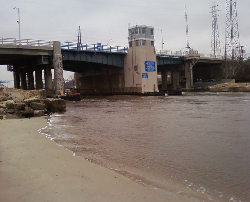
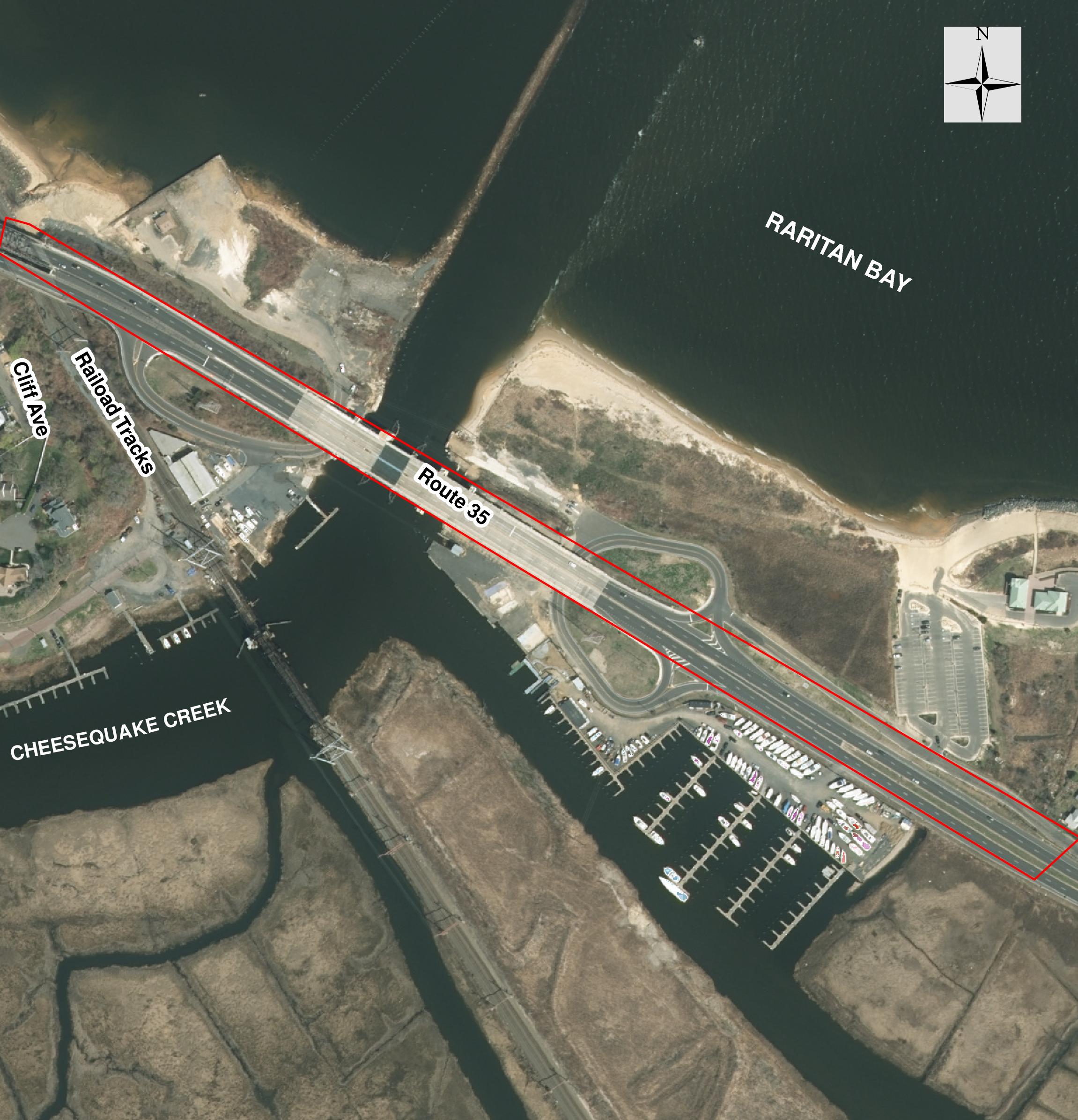
New Jersey Natural Gas (NJNG) proposed relocation and replacement of an existing 16-inch natural gas main line under Cheesequake Creek, a tidal water connecting Sayreville and Old Bridge, New Jersey
County: Middlesex
Towns: Sayreville & Old Bridge
New Jersey Natural Gas (NJNG) proposed relocation and replacement of an existing 16-inch natural gas main line under Cheesequake Creek, a tidal water located between Sayreville and Old Bridge, New Jersey. The line is a major transmission feed for the NJNG distribution system. The existing gas main, located at a relatively shallow depth below the Creek bed, was damaged during debris removal following Superstorm Sandy. Given the location and depth of the existing main, it could not be repaired; NJNG chose to replace the main at the Creek crossing. Due to the damage, federal law requires pressure to be lowered until it is fixed, and a quick replacement was needed to return the system to full pressure.
Planned Improvements
NJNG proposed to directionally drill the new main to a deeper depth under the Creek bed and the elevated portions of the recently reconstructed Route 35 bridge. Once beyond the Creek, the line was to be extended within the existing road, or associated cleared right-of-way, to connect with the existing line.
The project has been completed.
Najarian Effort
- Najarian performed a boundary survey along the proposed alignment of the main and also surveyed the wetland flags.
- Najarian delineated the freshwater wetlands, located along the edge of the Creek and southeastern side of the Route 35 bridge. In addition, Najarian located the NJDEP-mapped coastal wetlands using GIS, but determined that the freshwater wetlands were further upland so a coastal wetland permit was not required.
- Due to the presence of foraging habitat for a breeding pair of black-crowned night herons, the wetlands were mapped as a Threatened species habitat under NJDEP regulations; the firm’s project included a 150-foot transition area.
- Based on the delineation, NJNG positioned the drill pits outside of the wetlands.
- Najarian obtained a Freshwater Wetlands General Permit #2 for Utility line crossing. This permit is required for utility crossing disturbance within the transition area of the wetlands.
- Najarian obtained a Tidelands Utility License.
- Najarian obtained the US Army Corps of Engineers Nationwide Permit, preparing the Pre-Construction Notification package.
Major Permits Obtained
- Najarian secured a number of environmental permits for this project, including:
- NJDEP In-water Waterfront Development permit
- NJDEP Coastal General permit #16 for Landfall of Utilities
- NJDEP Freshwater Wetlands General Permit #2 for utility crossing
- NJDEP Water Quality Certificate
- NJDEP Tidelands Utility License
- U.S. Army Corps Nationwide Permit #12
Najarian obtained approval for these permits with minimal comments from the agencies.
Services Provided:
- Conducted land survey
- Conducted survey of delineated wetlands
- Prepared site plans
- Prepared NJDEP permit compliance statement and permit application
- Prepared Tidelands license application
- Prepared US Army Corps Nationwide Permit application, including Pre-Construction Notification
Technical Services
- Land surveys
- Wetlands surveys
- Site plans prepared in conjunction with NJING