Project Summary
Full Summary
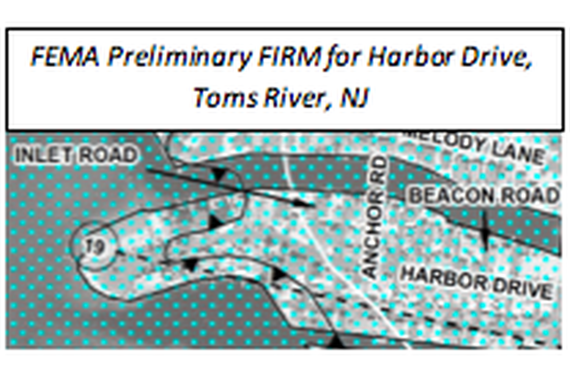
Najarian Associates was retained by private homeowners in the Borough of Fair Haven, New Jersey, to appeal FEMA’s Preliminary Flood Insurance Rate Maps (FIRM).
County: Monmouth
Town: Fair Haven
Najarian Associates was retained by private homeowners in the Borough of Fair Haven, New Jersey to appeal FEMA’s Preliminary Flood Insurance Rate Maps (FIRM).
The Preliminary FIRMs placed these homes in the VE-(wave-action) Zone, in contrast to the surrounding waterfront community, which was mapped within an AE-Zone. FEMA guidance indicated that the maps may be appealed by either providing revised (i.e., field-surveyed) topographic data or conducting a new overland-wave model (WHAFIS) analysis for this area.
Technical Services
Accordingly, Najarian Associates collected new topographic survey data, which is more accurate than FEMA’s remotely-sensed LIDAR data, to characterize the local topography. With the revised model inputs, Najarian conducted a new WHAFIS model analysis.
WHAFIS Analysis Results
The new topographic data and WHAFIS analysis provided a technical basis to appeal the local VE-Zone delineation. FEMA accepted the appeal, and the homes were removed from the mapped VE-Zone.