
Collaborating with FEMA and other agencies to revise property flood zone designations
Description
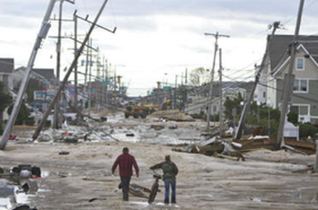
Najarian Associates’ team of highly qualified coastal scientists, engineers, surveyors, and Certified Floodplain Managers (CFMs) provide specialized FEMA mapping partner services to address FEMA Flood Map issues. Together, this expert team collects new topographic data and conducts new flood-model or wave-model analyses that provide the basis for revising maps in compliance with FEMA guidelines and specifications.
Najarian Associates provides additional floodplain management services, including:
- Letters of Map Change (LOMC)
- Amendment (LOMA) or Revision (LOMR)
- Elevation Certificate Surveys
- WHAFIS Overland Wave Model Analysis
- Wave Runup/Overtopping Analysis
- Dune Removal Analysis
- Base Flood Elevation (BFE) Revision Analysis
- Flood-Reduction Alternatives Analysis
- Flood Hazard Mitigation Planning
- Community Rating System Adoption
FEMA Flood Map Projects
By collecting more accurate topographic elevation data, and conducting WHAFIS model analyses, the Najarian team successfully appealed FEMA’s Revised Preliminary Flood Insurance Rate Maps (PFIRMs) for Toms River, West New York, and Fair Haven, New Jersey.
Learn More About Our Services
Fill out the form below, and we will get back to you as soon as possible!